Ermita de la Victòria and Pollença
Port d'AlcúdiaModerateTested by a local
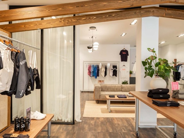 Rapha Mallorca North Pop-upSpecialty coffee · km 0Open ›
 MalloriaSpecialty coffee · km ≈13Open ›
 Gran Café 1919Practical stop · km ≈21Open ›
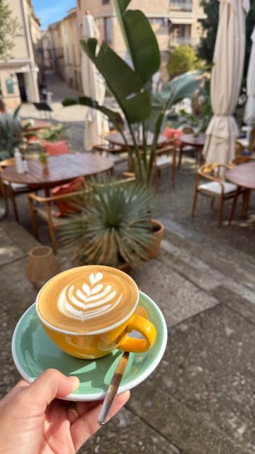 Bo'sSpecialty coffee · km ≈29Open ›
 La Mar DolçaSpecialty coffee · km ≈29Open ›
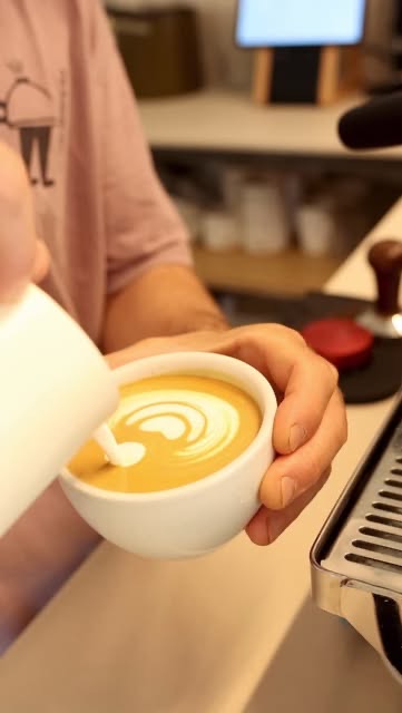 La Molienda PollençaSpecialty coffee · km ≈29Open ›
- Specialty coffee
- Practical stop
- Start
- Finish
- Specialty coffee
- Practical stop
A guide for planning, not a guarantee: check conditions and ride at your own risk. Terms and disclaimer


- Distance ≈
- 41 km
- Climbing ≈
- 330 m
About 2 h of riding at a relaxed pace (25 km/h on the flat and 700 m of climbing an hour), not counting stops.
Km by km
Coffee on the way6 stops
6 coffee stops on 41 km: Rapha Mallorca North Pop-up at km 0, Malloria at km 13, Gran Café 1919 at km 21, Bo's at km 29, La Mar Dolça at km 29, La Molienda Pollença at km 29.
- km 0StartPort d'Alcúdia
- km 0Rapha Mallorca North Pop-upSpecialty coffee · from the web
- km ≈13MalloriaSpecialty coffee · from the web
- km ≈21Gran Café 1919Practical stop · tested by a local
- km ≈29Bo'sSpecialty coffee · tested by a local
- km ≈29La Mar DolçaSpecialty coffee · tested by a local
- km ≈29La Molienda PollençaSpecialty coffee · tested by a local
- km 41FinishBack in Port d'Alcúdia
More rides like this
We're adding more routes and checking more coffee stops on the bike. Get an email when new ones are ready.
No spam. Unsubscribe any time. How we use your email
About this ride
A short loop around the two bays of the north, with a hilltop hermitage at the start. It begins and ends in Port d’Alcúdia.
The ride heads out onto the peninsula east of Alcúdia and climbs to the Ermita de la Victòria: about 2 km at around 6 %, with a steeper middle, up to about 130 m above the sea. It is a dead end, so you come back down the same road.
From Alcúdia the route follows the bay to Port de Pollença, turns inland to Pollença at about km 29 and returns to Port d’Alcúdia inland: 41 km and about 330 m of climbing in all, with plenty of cafés on the way.
The local behind this site has ridden it. The track is drawn along OpenStreetMap roads, with elevations from the official Spanish terrain model.
Map data © OpenStreetMap contributors. Elevation: MDT05 ©Instituto Geográfico Nacional (CC BY 4.0).
Got the GPX. Want the next ones?
We'll email you when we add new routes and coffee stops.
No spam. Unsubscribe any time. How we use your email