About
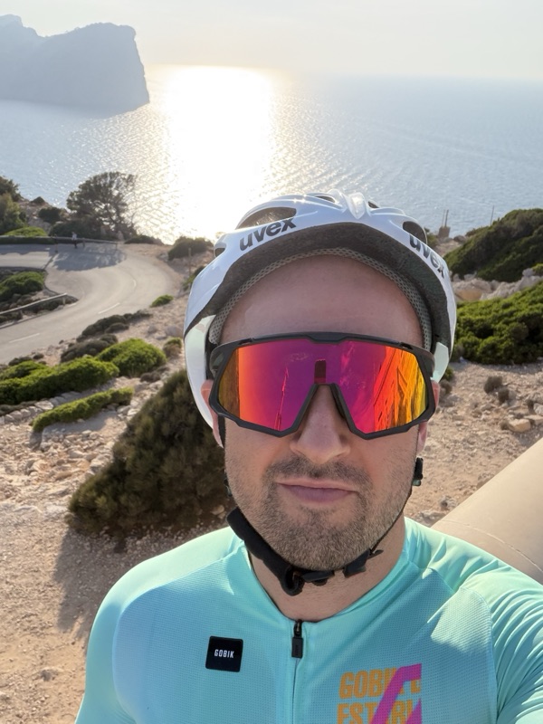
Hi, I'm Justo
I was born in Mallorca and have lived here all my life. I've always liked cycling, but I only started riding seriously in 2026. My first proper ride went straight to the Formentor lighthouse. It was hard at first, but I loved it, and from then on I was hooked.
These days I like long rides that take me through the villages of the interior and up into the Serra de Tramuntana. I'm still discovering routes, and that's exactly why I started Coffee Ride Mallorca: to document what I find as I go, and to make it easier for riders like me to find the best roads and the best places to stop.
My favourites so far
The climb I like most is Coll de sa Batalla. I usually get there through Sa Pobla, Campanet and Caimari before the road starts to rise. My favourite coffee on the island is L'Epicerie in Port d'Alcúdia: great coffee, very good food, and a bike rack and a pump waiting for you.


What this site is
A free guide for road cyclists visiting Mallorca (Majorca, as it's often spelled in English): the classic routes with a map, an elevation profile and a GPX, the coffee stops worth knowing about on each one, and a calculator to estimate your time up the big climbs. It says clearly how much of it I have checked on the bike.
What the badges mean
- Tested by a local
A local has ridden the route or stopped at the café. The date of the visit is shown where it matters.
- From the web · not yet verified
Put together from public sources and not checked in person yet. Anything we could not confirm says "To verify" rather than a guess.
The "Tested by a local" badge is never paid for. If the site ever carries sponsored content or affiliate links, they will be clearly labelled as such.
Two kinds of coffee stop
The coffee stops on this site are about specialty coffee: places that take their coffee seriously. Some stretches of road have nothing like that, so we also list practical stops: not specialty, but the place to fill your bottles and eat something at the top of a climb or the bottom of Sa Calobra. Specialty coffee stops carry a small star (★); practical stops have an outlined cup.
Where the data comes from
- Maps, roads, cafés and opening hours: © OpenStreetMap contributors, available under the Open Database Licence.
- Elevation: MDT05 digital terrain model © Instituto Geográfico Nacional (CC BY 4.0). Elevations inside tunnels and on bridges are interpolated.
- Routes not yet ridden by a local are drawn along OpenStreetMap roads with BRouter.
- Photos: from Wikimedia Commons under free licences (CC BY or CC BY-SA), credited under each photo with a link to the original. When a café has no free photo of its own, the photo shows the place right next to it, and the caption says so.
- Climb times are an estimate from a simple physics model. Wind, heat and traffic will change your real time.