Felanitx, Santanyí and the south coast
FelanitxModerateFrom the web · not yet verified
- Start
- Finish
- Practical stop

- Distance ≈
- 68 km
- Climbing ≈
- 360 m
About 3 h 15 min of riding at a relaxed pace (25 km/h on the flat and 700 m of climbing an hour), not counting stops.
More rides like this
We're adding more routes and checking more coffee stops on the bike. Get an email when new ones are ready.
No spam. Unsubscribe any time. How we use your email
About this ride
A loop through the south of Mallorca, away from the mountains of the north. It starts in Felanitx, in the south-east, goes down to Santanyí and the coast at Colònia de Sant Jordi, and comes back north through Campos and Porreres.
The ground is gentle: the highest point is about 135 m and there are no long climbs, so it suits an easy day, a recovery ride or a day when the wind is too strong for the mountains. Felanitx is also where the Sant Salvador climb starts, so you can add it to the loop.
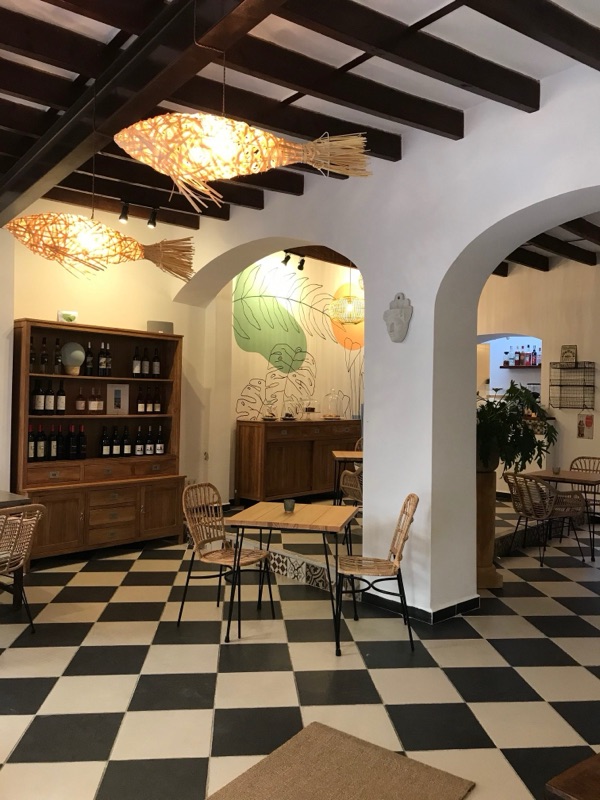
Café Candela is in the old centre of Felanitx, a few minutes from the start. Between Santanyí and Campos there is little along the way, so carry water.
The track is drawn along OpenStreetMap roads with elevations from the official Spanish terrain model. Nobody has ridden it for this site yet.
Map data © OpenStreetMap contributors. Elevation: MDT05 ©Instituto Geográfico Nacional (CC BY 4.0).
Got the GPX. Want the next ones?
We'll email you when we add new routes and coffee stops.
No spam. Unsubscribe any time. How we use your email