Palma and Galilea
PalmaModerateFrom the web · not yet verified

- Distance ≈
- 53 km
- Climbing ≈
- 770 m
About 3 h 15 min of riding at a relaxed pace (25 km/h on the flat and 700 m of climbing an hour), not counting stops.
About this ride
A loop through the quiet villages west of Palma, away from the coast and the main roads. It starts and finishes at La Molienda Bisbe, in the centre of the city.
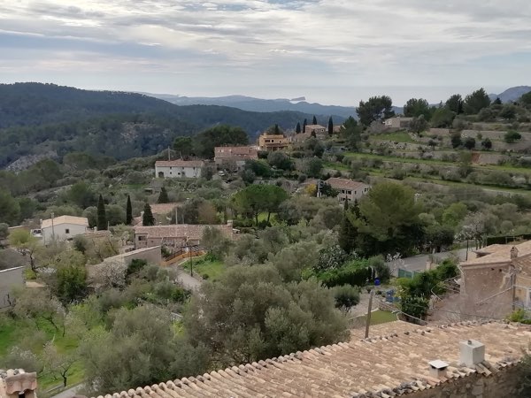
The road climbs gradually out of Palma to Puigpunyent, then more steeply up to Galilea, a hamlet on the hillside at about 430 m and the high point of the ride. The four kilometres before it average about 5 %.
From Galilea the road drops to Es Capdellà, then climbs again, more briefly, before the long run back down to Palma through Calvià: 53 km and about 770 m of climbing in all.
There is no coffee stop on this site along the loop itself yet, so take what you need from Palma and plan your coffee for the start or the finish.
The figures on this page come from OpenStreetMap and the official Spanish terrain model, not yet from a ride by a local.
Map data © OpenStreetMap contributors. Elevation: MDT05 ©Instituto Geográfico Nacional (CC BY 4.0).