Port des Canonge
EsporlesModerateFrom the web · not yet verified
 BarbafloridaSpecialty coffee · km ≈23Open ›
 CocouSpecialty coffee · km ≈23Open ›
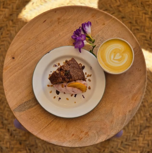 RosetaSpecialty coffee · km ≈23Open ›
- Specialty coffee
- Start
- Finish
- Specialty coffee
A guide for planning, not a guarantee: check conditions and ride at your own risk. Terms and disclaimer


- Distance ≈
- 37 km
- Climbing ≈
- 790 m
- Climb time
- Your time ›
About 2 h 30 min of riding at a relaxed pace (25 km/h on the flat and 700 m of climbing an hour), not counting stops.
Km by km
Coffee on the way3 stops
3 coffee stops on 37 km: Barbaflorida at km 23, Cocou at km 23, Roseta at km 23.
- km 0StartEsporles
- km ≈8Port des Canonge4.8 km at 6.0 % to Ma-10 junction
- km ≈23BarbafloridaSpecialty coffee · from the web
- km ≈23CocouSpecialty coffee · from the web
- km ≈23RosetaSpecialty coffee · tested by a local
- km 37FinishBack in Esporles
More rides like this
We're adding more routes and checking more coffee stops on the bike. Get an email when new ones are ready.
No spam. Unsubscribe any time. How we use your email
About this ride
A loop in the Tramuntana west of Valldemossa, with a dead-end road down to a tiny fishing cove. It starts and finishes in Esporles.
From Esporles the road climbs to the Ma-10, the coast road, and a lane winds down to Port des Canonge, a small cove on the coast. What goes down comes back up: about 4.8 km at 6 % from the cove to the Ma-10, steepest in the first three kilometres.
The route then follows the Ma-10 east, climbing to about 500 m before descending to Valldemossa at km 23, where there are cafés. It returns to Esporles on the roads through the valley: 37 km and about 790 m of climbing.
The figures on this page come from OpenStreetMap and the official Spanish terrain model, not yet from a ride by a local.
Map data © OpenStreetMap contributors. Elevation: MDT05 ©Instituto Geográfico Nacional (CC BY 4.0).
Got the GPX. Want the next ones?
We'll email you when we add new routes and coffee stops.
No spam. Unsubscribe any time. How we use your email