Sant Salvador
FelanitxFrom the web · not yet verified

- Distance ≈
- 15 km
- Climbing ≈
- 380 m
- Climb time
- Your time ›
About this ride
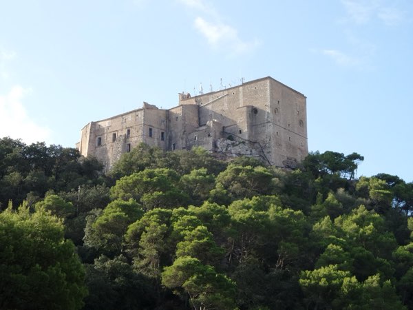
The Santuari de Sant Salvador sits on a hilltop above Felanitx, in the south-east of Mallorca. The climb to it is short but serious, and a good alternative to the mountains in the north when you are based in the south or east of the island.
This route starts in Felanitx. The first couple of kilometres are almost flat, then the road starts to rise and the last four kilometres average around 7.5 %, with the steepest kilometre close to 9 %. The climb tops out at about 490 m, close to 390 m above the town, after about 7.3 km.
The road up is narrow and twisting, with tight corners near the top. Ride it at a steady effort: there is little room to recover once the steep part begins.
The way back is the same road down to Felanitx, for 14.7 km in total.
The figures on this page come from OpenStreetMap and the official Spanish terrain model, not yet from a ride by a local.
Map data © OpenStreetMap contributors. Elevation: MDT05 ©Instituto Geográfico Nacional (CC BY 4.0).