Valldemossa, Deià and Sóller
ValldemossaFrom the web · not yet verified
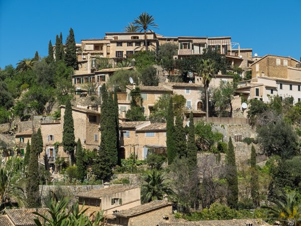
.jpg)
- Distance ≈
- 21 km
- Climbing ≈
- 220 m
Coffee stops
About this ride
The stretch of the Ma-10 between Valldemossa and Sóller is one of the most scenic roads in Mallorca. It runs along the cliffs of the Tramuntana coast, high above the sea, through the village of Deià.
This route starts in Valldemossa at about 410 m and ends in Sóller, close to sea level, so overall it loses far more height than it gains: about 220 m of climbing over 21 km. That does not make it flat. After a short rise out of Valldemossa, the road rolls up and down along the coast, with short climbs on both sides of Deià.
Deià is the natural halfway point, about 10 km from either end. From there the road continues along the coast before dropping down into the Sóller valley.
It is a point-to-point ride, so plan how you will get back. Riding it the other way, from Sóller to Valldemossa, turns it into a long, steady climb with sea views.
The road is narrow in places and popular with cars and buses, especially around Deià, so stay alert.
The figures on this page come from OpenStreetMap and the official Spanish terrain model, not yet from a ride by a local.
Map data © OpenStreetMap contributors. Elevation: MDT05 ©Instituto Geográfico Nacional (CC BY 4.0).