Santuari de Cura
AlgaidaFrom the web · not yet verified

- Distance ≈
- 19 km
- Climbing ≈
- 390 m
- Climb time
- Your time ›
About this ride
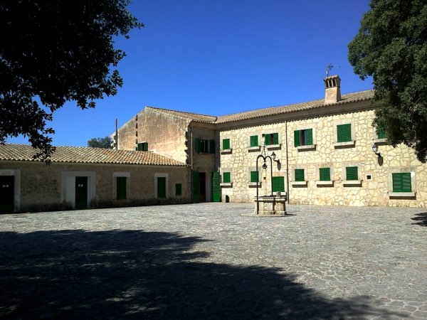
Puig de Randa rises on its own out of the plain in the middle of Mallorca, with the Santuari de Cura on top. It is the climb to go for when the Tramuntana mountains are in cloud, or when you are staying in the south of the island.
This route starts in Algaida and rolls gently for the first few kilometres. The real climb starts after about 4 km and gains most of the height in the next 5 km, with the steepest kilometres around 7 % early on before it eases towards the top. The sanctuary sits at about 540 m, around 350 m above Algaida.
The café at the sanctuary is the turnaround point. From the top you look out over the whole plain, and on a clear day you can see the mountains on the other side of the island.
The way back is the same road, mostly downhill to Algaida, for 19 km in total. It is a short ride, easy to add to a longer day across the middle of the island.
The figures on this page come from OpenStreetMap and the official Spanish terrain model, not yet from a ride by a local.
Map data © OpenStreetMap contributors. Elevation: MDT05 ©Instituto Geográfico Nacional (CC BY 4.0).