Lluc and Coll de sa Batalla
Port de PollençaHardFrom the web · not yet verified

- Distance ≈
- 72 km
- Climbing ≈
- 960 m
- Climb time
- Your time ›
About 4 h 15 min of riding at a relaxed pace (25 km/h on the flat and 700 m of climbing an hour), not counting stops.
Coffee stops
- Gran Café 1919km 0 · Practical stop · tested by a local
- Bo'skm ≈8 · Specialty coffee · from the web
- Cafè sa Plaçakm ≈27 · Practical stop · from the web
- Café Coll de sa Batallakm ≈29 · Practical stop · tested by a local
- Sa Ruta Verdakm ≈38 · Specialty coffee · from the web
- La Mar Dolçakm ≈64 · Specialty coffee · tested by a local
- La Molienda Pollençakm ≈64 · Specialty coffee · tested by a local
About this ride
The big loop of the north: from Port de Pollença up to the Santuari de Lluc and back down through the villages at the foot of the mountains. It is the hardest ride on this site so far, and the one with the most coffee stops along the way.
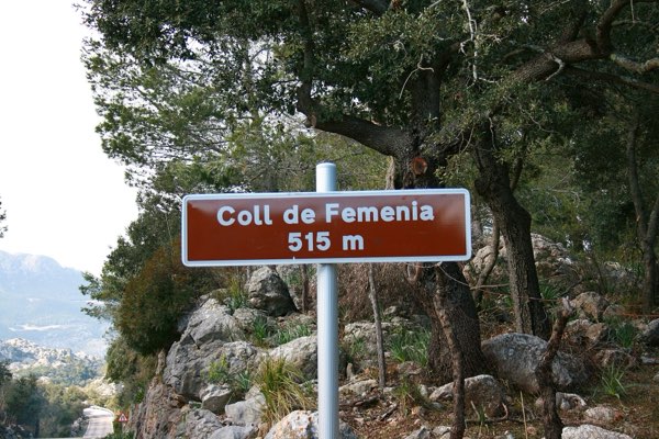
The route rolls inland to Pollença and then takes the Ma-10 up the Coll de Femenia: 8.5 km at 5.1 %, with the steepest part in the first four kilometres. Over the col the road continues through the woods to Lluc, where Cafè sa Plaça is on the monastery square.
From Lluc a short rise leads to Coll de sa Batalla and its café next to the petrol station. Then comes the reward: the eight-kilometre descent to Caimari, the same road as the Coll de sa Batalla route, ridden the other way. Sa Ruta Verda in Caimari is a good place to stop at the bottom.
The way back runs through Selva and Campanet and returns to Pollença, where La Mar Dolça and La Molienda are a few minutes apart, before the last few flat kilometres to the port: 72 km and about 960 m of climbing in all.
Take a jacket for the descent from Coll de sa Batalla, even on a warm day.
The figures on this page come from OpenStreetMap and the official Spanish terrain model, not yet from a ride by a local.
Map data © OpenStreetMap contributors. Elevation: MDT05 ©Instituto Geográfico Nacional (CC BY 4.0).