Mallorca 312
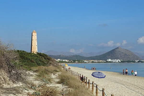
Platja de MuroHardFrom the web · not yet verified
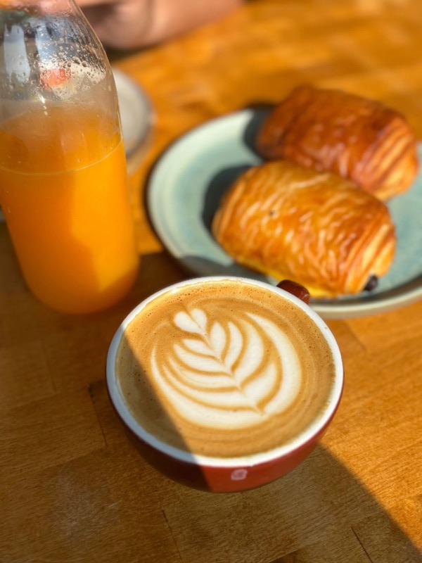 L'EpicerieSpecialty coffee · km ≈2Open ›
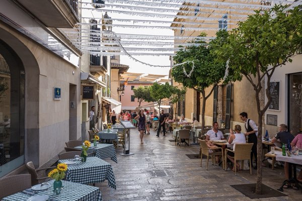 MalloriaSpecialty coffee · km ≈5Open ›
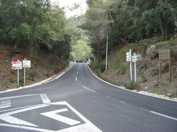 Café Coll de sa BatallaPractical stop · km ≈39Open ›
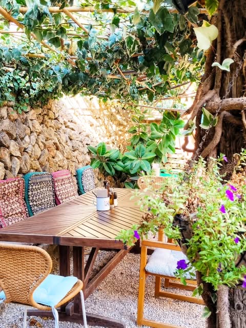 S'HortetPractical stop · km ≈81Open ›
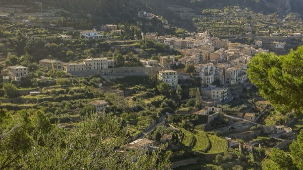 Can BusquetsPractical stop · km ≈104Open ›
 Your ChoiceSpecialty coffee · km ≈308Open ›
- Specialty coffee
- Practical stop
- Start
- Finish
- Specialty coffee
- Practical stop

- Distance ≈
- 313 km
- Climbing ≈
- 4,380 m
About 18 h 45 min of riding at a relaxed pace (25 km/h on the flat and 700 m of climbing an hour), not counting stops.
Climbs on this route
Coffee stops
- L'Epiceriekm ≈2 · Specialty coffee · tested by a local
- Malloriakm ≈5 · Specialty coffee · from the web
- Café Coll de sa Batallakm ≈39 · Practical stop · tested by a local
- S'Hortetkm ≈81 · Practical stop · from the web
- Can Busquetskm ≈104 · Practical stop · from the web
- Your Choicekm ≈308 · Specialty coffee · tested by a local
More rides like this
We're adding more routes and checking more coffee stops on the bike. Get an email when new ones are ready.
No spam. Unsubscribe any time. How we use your email
About this ride
The Mallorca 312 is the island’s best-known sportive: a closed-road day of 312 km that starts and finishes in Platja de Muro, near Alcúdia. This is the track the organisers publish for the 2025 edition, so it is the real route, not our own line. The event also has shorter versions of 226 and 167 km.
From Platja de Muro the ride goes to Port de Pollença and climbs the Coll de Femenia. Then comes Puig Major (8.3 km at 4.1 %, about 310 m of climbing), where the organisers’ first solid-food stop is at Gorg Blau. After the long descent the route takes in the Coll d’en Bleda, Sa Foradada, Sa Pedrissa and the Coll d’en Claret, then the Ma-10 coast to Banyalbufar and Estellencs, the Coll des Pi and the Coll de sa Gramola on the way to Andratx, the furthest point.
The way back crosses the Serra by Es Capdellà, Galilea and the Grau de Superna, and goes on through Sa Granja, Lloseta, Ariany and Artà before the finish near Platja de Muro. The track measures 313 km with about 4,400 m of climbing; the event is billed as 312 km and about 5,000 m.
The route changes a little from year to year, so check mallorca312.com for the track of the year before the event. Outside the event the roads are open to traffic, and a day this long needs a plan: food and water, daylight and a way to shorten it. The cafés listed here are the ones close to the line; there are long stretches with none.
Track © 312 Sport Events, published for download at mallorca312.com. Route © OpenStreetMap contributors.
Map data © OpenStreetMap contributors. Elevation: MDT05 ©Instituto Geográfico Nacional (CC BY 4.0).
Got the GPX. Want the next ones?
We'll email you when we add new routes and coffee stops.
No spam. Unsubscribe any time. How we use your email