Round the island
PalmaHardFrom the web · not yet verified
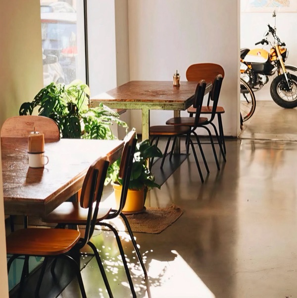 La Molienda ArxiducSpecialty coffee · km 0Open ›
 Orígenes CaféSpecialty coffee · km ≈2Open ›
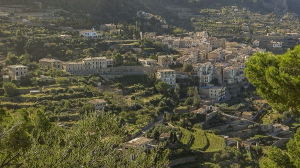 Can BusquetsPractical stop · km ≈60Open ›
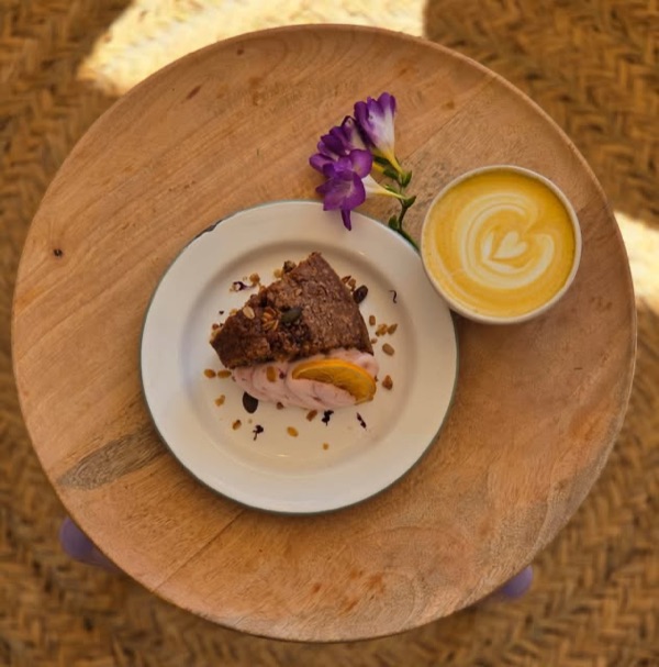 RosetaSpecialty coffee · km ≈76Open ›
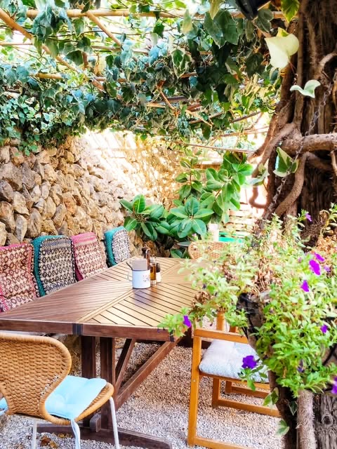 S'HortetPractical stop · km ≈85Open ›
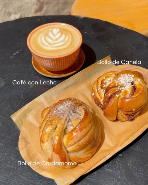 CoccumSpecialty coffee · km ≈97Open ›
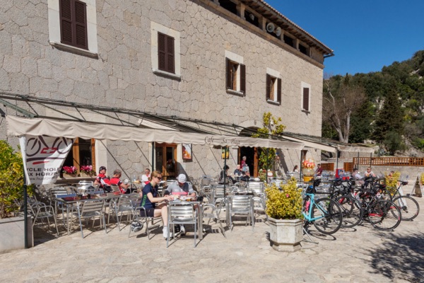 Cafè sa PlaçaPractical stop · km ≈131Open ›
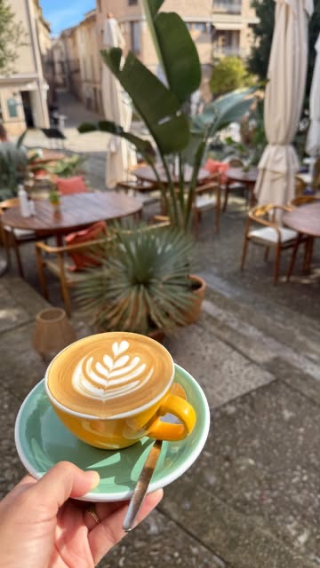 Bo'sSpecialty coffee · km ≈151Open ›
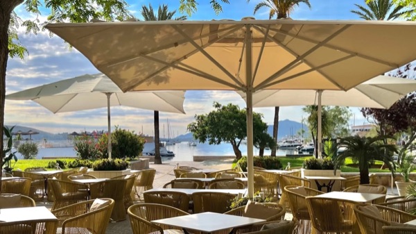 Gran Café 1919Practical stop · km ≈158Open ›
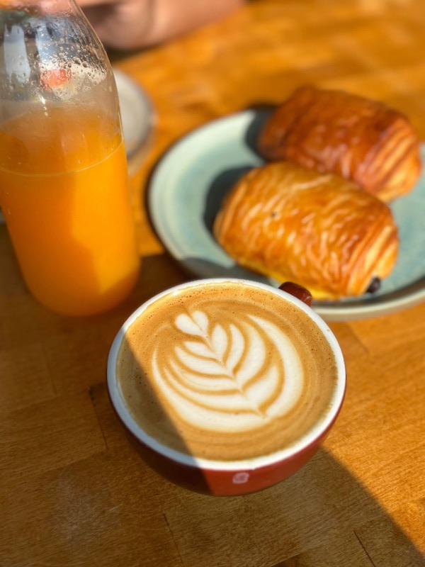 L'EpicerieSpecialty coffee · km ≈172Open ›
 Your ChoiceSpecialty coffee · km ≈180Open ›
- Specialty coffee
- Practical stop
- Start
- Finish
- Specialty coffee
- Practical stop
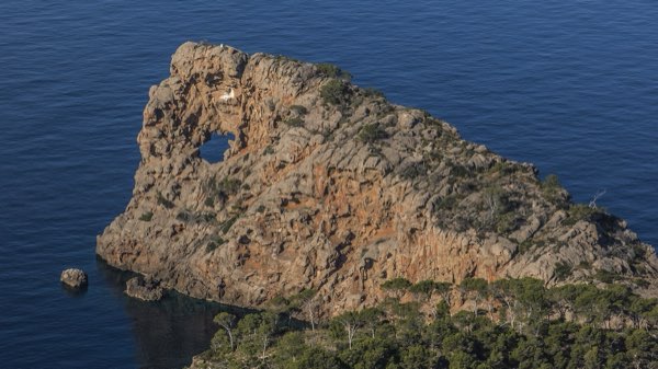
.jpg)
- Distance ≈
- 366 km
- Climbing ≈
- 4,260 m
About 20 h 45 min of riding at a relaxed pace (25 km/h on the flat and 700 m of climbing an hour), not counting stops.
Climbs on this route
Coffee stops
- La Molienda Arxiduckm 0 · Specialty coffee · tested by a local
- Orígenes Cafékm ≈2 · Specialty coffee · from the web
- Can Busquetskm ≈60 · Practical stop · from the web
- Rosetakm ≈76 · Specialty coffee · tested by a local
- S'Hortetkm ≈85 · Practical stop · from the web
- Coccumkm ≈97 · Specialty coffee · from the web
- Cafè sa Plaçakm ≈131 · Practical stop · from the web
- Bo'skm ≈151 · Specialty coffee · from the web
- Gran Café 1919km ≈158 · Practical stop · tested by a local
- L'Epiceriekm ≈172 · Specialty coffee · tested by a local
- Your Choicekm ≈180 · Specialty coffee · tested by a local
More rides like this
We're adding more routes and checking more coffee stops on the bike. Get an email when new ones are ready.
No spam. Unsubscribe any time. How we use your email
About this ride
A loop that follows the whole outline of Mallorca, starting and finishing in Palma. It is more than most people ride in a day, so it is usually done in three to five days; the stages below are one way to split it into four.
The route goes clockwise. It leaves Palma along the west coast to Andratx, then takes the Ma-10 through the Tramuntana: Banyalbufar, Valldemossa, Deià and Sóller, then over Puig Major to Lluc. From there it descends to Pollença and Alcúdia, follows the north-east coast to Artà and Cala Ratjada, goes down the east coast to Portocolom and Santanyí, and comes back along the south coast through Colònia de Sant Jordi and Cala Pi to s’Arenal and Palma.
Four stages
- Palma to Sóller, about 97 km, over the coast road of the Tramuntana.
- Sóller to Alcúdia, about 72 km, over Puig Major and down by Lluc and Pollença.
- Alcúdia to Portocolom, about 96 km, along the north-east and east coasts.
- Portocolom to Palma, about 101 km, round the south of the island.
The first two days have the mountains and nearly all the cafés on this page. From Can Picafort to Palma we have no café on the route yet, so on stages 3 and 4 plan your food and water stops in the towns. The route does not include the Cap de Formentor, which is a separate out-and-back from Port de Pollença.
The track is drawn along OpenStreetMap roads with elevations from the official Spanish terrain model. Nobody has ridden it for this site yet.
Map data © OpenStreetMap contributors. Elevation: MDT05 ©Instituto Geográfico Nacional (CC BY 4.0).
Got the GPX. Want the next ones?
We'll email you when we add new routes and coffee stops.
No spam. Unsubscribe any time. How we use your email